COLUMBUS, Ind. - Bartholomew County Emergency Management (BCEM) has announced its latest list of Road closings and high water areas to avoid as of 8:50 a.m. on Friday, March 6.
Here is the latest BCEM information.
High Water Reported:
250S – between 400W and 475W
400W – between 200S and 250S
Water is moving into Candlelight
300S – between 275W and 400W
250 N / 1140 E – Anderson Falls area
Newbern Rd – between 265N and 225N
Roads Closed:
Jonesville Rd (SR11) – between SR46 and Garden City
S Gladstone Ave Curves
475W – between Carr Hill and 250S
S 600E / E 850S – 600E closed
400 N – Tinkey Bridge
800S – between Azalia and SR11
Southern Crossing – between Jonesville Rd (SR11) and 150E
Jonesville Rd (SR11) – between Southern Crossing and 550S
400W / 850S
800S – between Base Rd and 60E
300E – between 500S and 600S
Tellman Rd – between Indianapolis Rd and 200W
Riverside Dr
Tulip Dr – between Marshall and Reeves Dr
N 325W/W 200N
N 325W/W Georgetown Rd.
Closed Recreation Areas / People Trails:
Several sections of the People Trails
McCullough’s Run Park
Mill Race Park
Noblitt Park
Tannehill Fishing Site
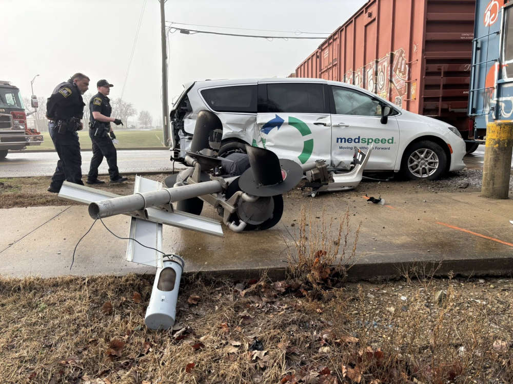 Accident involving van and train in Columbus
 BCSC, St. Bartholomew, St. Peter's are on a 2-hour delay for Friday
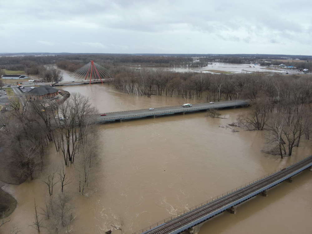
 Flood Warnings extended for Driftwood, East Fork White Rivers in Bartholomew County
 Columbus teen identified in shooting of Seymour teen
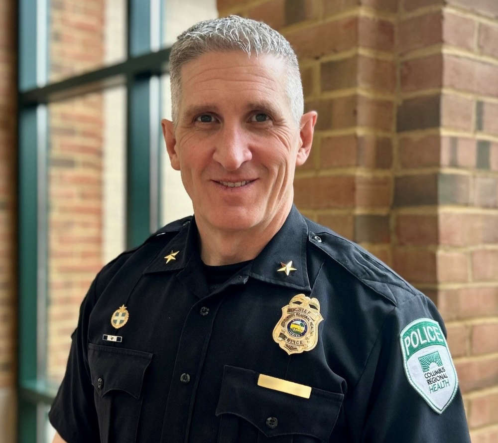 CRH appoints new System Chief of Police
 Flood Warning declared for Haw Creek near Clifford; Warning extended for Flatrock, East Fork White Rivers
 Continued rain closes multiple roads in Bartholomew County
 CFD, BCSO rescue several homeless people from high water at Clifty Creek

