
SOUTH-CENTRAL, Ind. - The National Weather Service (NWS) is tracking a weather pattern that could develop this week for south-central Indiana, with multiple rounds of showers and thunderstorms on Tuesday and Wednesday.
The possible impacted area includes Bartholomew, Johnson, Jackson, Jennings, Decatur, Shelby, and Brown Counties. Showers and thunderstorms are expected on Tuesday afternoon, with a stronger system and a bigger risk for severe weather on Wednesday.
There is a "marginal" chance of thunderstorms and severe weather developing on Tuesday after 3 p.m. Damaging winds and hail are possible.
On Wednesday, a "slight" risk of severe weather and excessive rainfall is in place for Wednesday afternoon and evening. Several rounds of storms and flooding are possible.
Large hail, damaging winds, and isolated tornadoes can not be ruled out on both days.
NWS alerts residents to prepare for the possible severe weather by taking these actions:
- Immediately move indoors if warnings are issued
- Be weather aware and monitor forecasts closely
- Have several ways to receive warnings (NOAA Weather Radio, weather apps)
- Do not drive through flooded roadways
 10 East/North students selected as 2027 Lilly Scholarship finalists
 Vote early at Gather Columbus, Bartholomew Co. Office Bldg.
 Edinburgh town council approves $10.4M budget for 2027
 Edinburgh establishes official 2026 Halloween 'Trick-or-Treat' hours
 Kelly School of Business at IU, Columbus Chamber present 2027 Economic Outlook Luncheon
 Indiana Sentinels return for second season at Hamilton Center in Columbus
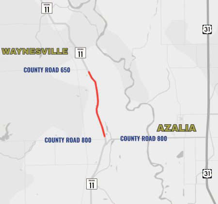 Part of State Road 11 near Azalia closed Tuesday
 Bartholomew County property taxes due November 10