SOUTH-CENTRAL, Ind. - Pop-up thunderstorms traveled through parts of central and southern Indiana on Tuesday, and the National Weather Service (NWS) in Indianapolis says a more potent system could move into the state on Wednesday. It might mean an increased risk of severe weather in the region.
The possible showers and thunderstorms are expected to arrive in two rounds on Wednesday for Bartholomew, Johnson, Jackson, Jennings, Shelby, Decatur, and Brown Counties in south-central Indiana.
The first round is forecast for early afternoon, and the second, a more intense system, is predicted to move through between 9 and 11 p.m. Any lingering rain is expected to end by 4 a.m. on Thursday.
The severe weather potential for Wednesday evening includes straight-line winds and thunderstorms. NWS says supercell thunderstorms and tornadoes cannot be ruled out. Any watches or warnings would not be issued until later in the day as weather patterns become clearer.
Although not a prediction at this time, the storms could contain larger hail (1-2 inches), damaging or destructive winds (60-80 mph), and tornadoes.
South-central Indiana residents are advised to be "weather-aware" and monitor forecasts throughout the day.
 9-day Bartholomew County Fair kicks off on Friday
 'Yes And' earns Honorable Mention at Great Places Awards
 BCSC Board votes to place 'operating referendum renewal' on November ballot
 Task Force welcomes new Electronic Storage Detection K9 Rico
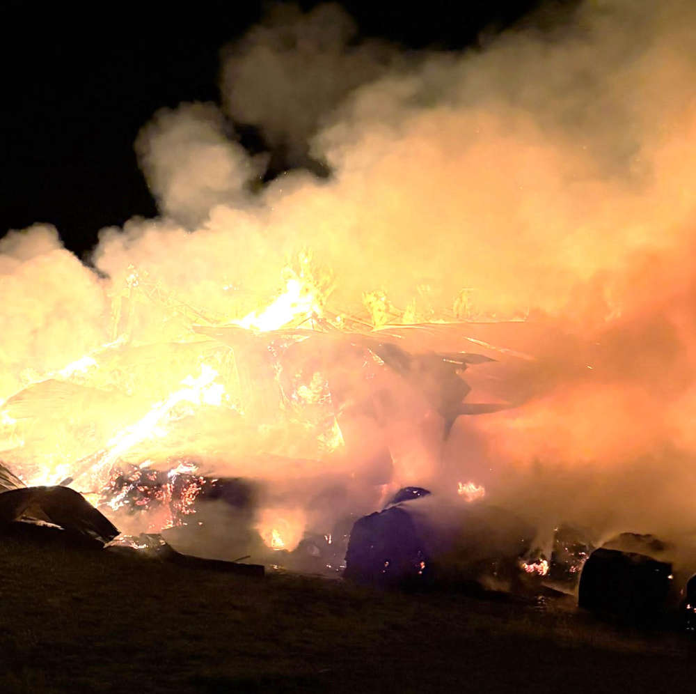 Hope, Columbus fire crews fight massive barn fire
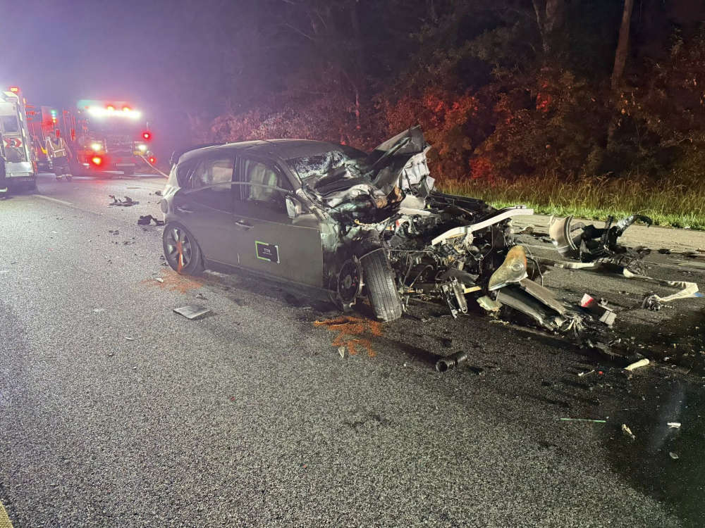 Early morning I-65 crash
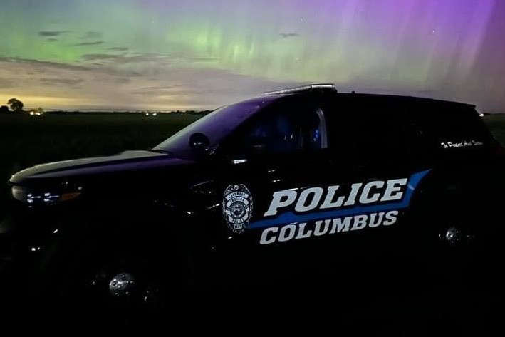 CPD investigates Friday night 'Swatting' call


